 Radar courtesy MyRadar | © OpenStreetMap contributors | Today's daily digit A somewhat subjective rating of the day's weather, on a scale of 0 to 10. 5/10: Pretty typical temperatures with highs near 90. But, oof, that humidity cranks up. Isolated p.m. storms unlikely to bring widespread cooling relief. Express forecast - Today: Early-morning shower? Isolated p.m. storms. Highs: Upper 80s to low 90s.
- Tonight: Evening storm chance. Lows: Low-to-mid 70s.
- Tomorrow: Scattered p.m. storms possible. Highs: Low-to-mid 90s.
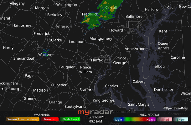
Forecast in detail Our typically hottest time of year lives up to its reputation. High temperatures today eye the 90-degree mark and then exceed that for much — if not all — of the week ahead. At least we're not looking at record heat or under a true heat dome. High, oppressive humidity does return, though, with a few severe storms possible today and tomorrow. So let's stay weather-aware, please! Get our daily forecasts on your Amazon Alexa device. Today (Sunday): After a possible early-morning shower or two, we should be mostly dry until the afternoon where there's a chance of isolated showers and storms. Any storm that does form could be strong to severe. Otherwise partly sunny skies may have some haze from smoke blowing in from Canadian and western U.S. wildfires. Humidity builds quickly (dew points launch into the low 70s) and afternoon highs aim for the upper 80s to low 90s, feeling more like the mid-90s. Winds are fairly light from the south around 10 mph. Confidence: Medium-High  | Storm Threat Level 1 - Everyday Storm Readiness
- Chance of storms
- Isolated storms may be severe
| Tonight: Isolated storms may linger into the early evening and again could be strong to severe. We stay muggy and warm through the overnight as both temperatures and dew points bottom out in the low-to-mid 70s. Confidence: Medium Follow us on YouTube, Facebook, Twitter and Instagram for the latest updates. Keep reading for the forecast into next week. Tomorrow (Monday): Heat returns in force for sure, to join the high humidity. The combination of afternoon highs in the low-to-mid 90s and dew points near 75 could push the heat index to near or over 100. Skies are mostly to partly sunny, so remember that sunscreen, and keep water on hand so that you can mindfully hydrate. Heat plus oppressive humidity means our sweat won't easily evaporate to allow our bodies to cool themselves. Scattered showers and storms are possible mid-to-late afternoon, a few of which could be severe. Confidence: Medium-High Tomorrow night: Any storms should start to dwindle as we get past sunset (8:34 p.m.). A few showers could last a bit longer into the overnight hours. Thanks to soupy air, low temperatures merely get down into the low-to-mid 70s under partly cloudy skies. Confidence: Medium  Black-eyed Susans in Washington, D.C. on July 9, 2021. (Jeff Vincent via CWG.news/Photos Flickr) | A look ahead Muggy low-to-mid 90s continue Tuesday and Wednesday. Scattered showers and storms may pop, mainly during the afternoon into early-evening hours, and particularly on Wednesday when a cold front tries to move through. Again we could see apparent temperatures near or past 100. The front could give us a slight humidity reprieve later in the week with lower dew points (closer to 70 degrees). Confidence: Medium Read more about Capital Weather Gang's confidence rating. | 

