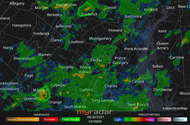
 Radar courtesy MyRadar | © OpenStreetMap contributors | * Flash flood watch until noon * Today's daily digit A somewhat subjective rating of the day's weather, on a scale of 0 to 10. 3/10: Cooler air is almost refreshing, if it weren't for the high humidity. We also have to contend with periodic downpours, which may cause flash flooding through at least midday. Express forecast - Today: Periodic downpours, with flooding possible. Strong storm or two? Highs: 76-82.
- Tonight: Mostly cloudy. Shower/storm chance. Lows: 67-73.
- Tomorrow: Lower rain chances, partly cloudy. Highs: 80s.
- Sunday: Slight strong storm threat. Highs: Mid-80s to around 90.
Forecast in detail Rain today could cause some flooding and we could see a few strong storms through the weekend. Coolness today turns into serious (and still muggy) warmth this weekend, then it's hot again by the new workweek. The forecast below has enough uncertain moving parts to prevent high forecast confidence over the coming days. Get our daily forecasts on your Amazon Alexa device.  | Storm Threat Level 1 - Everyday Storm Readiness
- Chance of storms
- Isolated storms may be severe
| Today (Friday): Periodic downpours and even a couple strong storms can't be ruled out, compounding our flooding concerns due to saturated ground. It seems like the heaviest and most consistent should be south and east of Interstate 95 overall, but anyone could see some passing downpours, especially through midday and they could linger longer. Between rains, it's cloudy with mid-70s to low 80s for high temperatures. That would feel nice if it weren't for very uncomfortable humidity (dew points in the low to mid-70s). We can thank an upper-level, low-pressure system approaching from our west and tropical moisture left behind by Tropical Storm Fred. Confidence: Medium-High Tonight: Showers and storms may persist for a while, but should not be as heavy or occur as often. Skies are mostly cloudy and we continue to stay muggy. This water-vapor-laden atmosphere doesn't allow low temperatures to fall much below the upper 60s to low 70s by dawn. Confidence: Medium Follow us on Facebook, Twitter and Instagram for the latest weather updates. Keep reading for the forecast through the weekend ... Tomorrow (Saturday): High temperatures top out in the muggy 80s. Sunshine levels are lower confidence. Sunnier skies mean we could see some locations in the upper 80s; cloudier and rainier conditions than currently expected could halt us nearer to 80 degrees. Showers and downpours, including a couple strong to severe storms, remain possible in the afternoon. We'll keep an eye on details as Tropical Storm Henri, staying offshore, makes its nearest approach to our area. Confidence: Medium Tomorrow night: Skies should clear a bit after any last evening showers and storms pass through. Keep an eye out for the rising full moon with Jupiter nearby. Continued muggy low temperatures drop toward the upper 60s and low 70s. Confidence: Medium 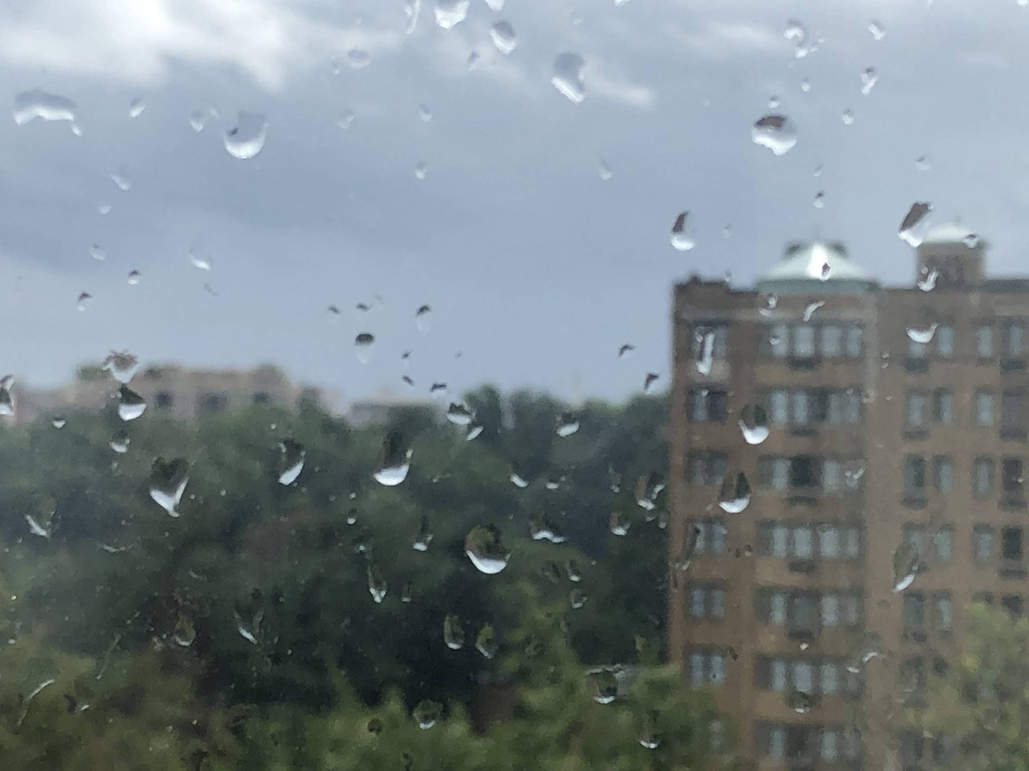 Raindrops on the windowpane, looking out at D.C.'s Rock Creek Park on Aug. 18. | A look ahead Sunday: Skies should be sunnier and precipitation chances lower. Still, despite more limited chances for rain, we could still see a couple strong storms during the afternoon with the extra heat around for fuel. We'll keep an eye on how this develops, as some focus of this stronger activity may end up north and east of town. High temperatures keep getting warmer, with mid-80s to around 90 degrees possible. We may see a slight dip in humidity, fingers crossed. Confidence: Medium Sunday night: Any showers or storms should taper off, and skies should stay partly to mostly cloudy. Low temperatures cool a bit, to the upper 60s and low 70s. Areas with rain could see a bit of fog and, of course, extra mugginess than drier neighbors nearby. Confidence: Low-Medium Hot temperatures are the story Monday and Tuesday with near and above 90, to perhaps as hot as mid-90s by Tuesday. Humidity may stay uncomfortable but nothing too oppressively muggy. One or two showers or storms can't be ruled out, but nothing widespread or too heavy is currently expected. Stay tuned for tweaks to the specifics and details as we get closer. Confidence: Medium | 

