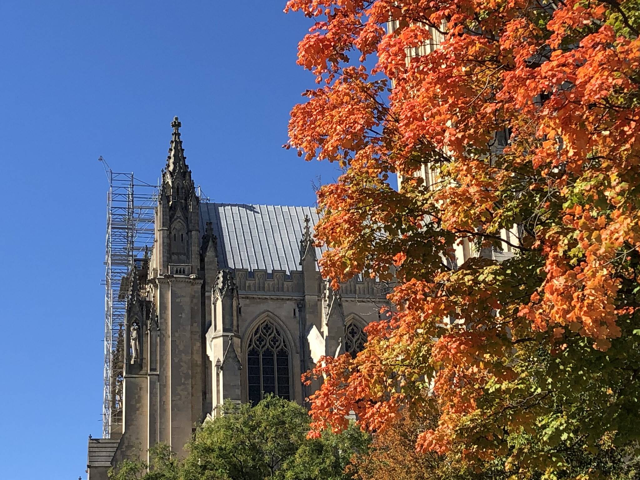
 Blue sky and bright sunlight over fall foliage at the Washington National Cathedral on Nov. 1. | * Freeze warning until 9 a.m., for the District and surrounds, eastward to the bay * Today's daily digit A somewhat subjective rating of the day's weather, on a scale of 0 to 10. 8/10: A little brisk, with midday breezes, but it's super sunny and we're acclimating to 50s for high temperatures, right? Express forecast - Today: Sunny, some breeze. Highs: 51-57.
- Tonight: Partly cloudy. Calmer. Lows: 30s.
- Tomorrow: Partly to mostly sunny. Highs: 52-58.
- Sunday: Partly sunny. Early shower? Highs: Mid- to upper 50s.
Forecast in detail Temperatures favor the slightest of warming trends this weekend, although below normal 50s remain likely today through Sunday. Sun rules but clouds may occasionally filter it this weekend. Dry conditions are very likely, with the exception of a possible sprinkle or shower late Saturday night into early Sunday. A rather serene forecast! Get our daily forecasts on your Amazon Alexa device. Today (Friday): After a frosty start we enjoy blue skies and abundant sunshine. Light to moderate northerly breezes near 10 mph would gust near 20 mph midday into the midafternoon hours. Strong, Canadian high pressure caps our high temperatures around the low to mid-50s. Confidence: High Tonight: Skies may develop a few high clouds and north-northeast breezes turn light. Low temperatures bottom out in the 30s, regionwide. More frost and freeze advisories are possible east of I-95, where a few spots still haven't seen their first freeze. Confidence: Medium-High Follow us on YouTube, Facebook, Twitter and Instagram for the latest updates. Keep reading for the forecast into next week … Tomorrow (Saturday): Sunshine again dominates, but some high clouds probably filter the sun at times. Still, east-northeast breezes around 10 to 15 mph aren't too bad and neither are high temperatures a couple degrees warmer than Friday — topping out in 52-to-58-degree range. Confidence: Medium-High Tomorrow night: A slight shower chance is possible nearer dawn but otherwise it's just a partly to mostly cloudy night. We won't have a moon, either, to illuminate our sky. Low temperatures may have a wider range from the mid-30s to low 40s. Confidence: Medium Sunday: High temperatures should be equal to or perhaps a couple degrees warmer than Saturday, in the mid- to upper 50s. Other than an early morning sprinkle or shower possible, it's a fairly sunny day, with occasional clouds moving in and out of the picture. Confidence: Medium A look ahead Sunday night: Moderate north-northwesterly breezes may continue and any clouds leftover in the evening skies should gradually clear. (Try to catch the sliver of a moon next to Venus in the evening sky.) Low temperatures manage to dip down to the upper 30s to low 40s. Confidence: Medium A mostly sunny return to more average temperatures on Monday and Tuesday with high temperatures likely in the 60s. It's possible a couple spots stay nearer the 60-degree mark on Monday and then a couple spots eye the 70-degree mark on Tuesday. We could also see a few late afternoon clouds on Tuesday, but stay tuned for tweaks to the finer details such as this, as we get closer. Light to moderate west-northwesterly breezes are possible. Confidence: Medium-High Read more about Capital Weather Gang's confidence rating. | 

